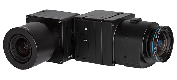
61 MP full-frame camera for land surveying, urban planning
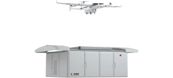
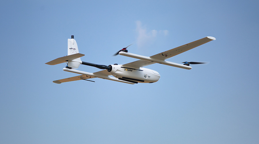
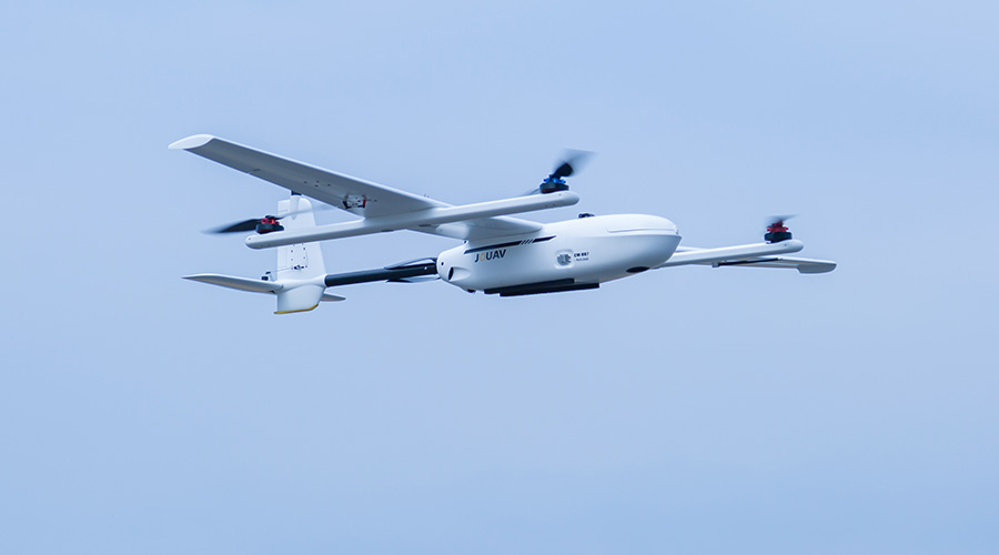
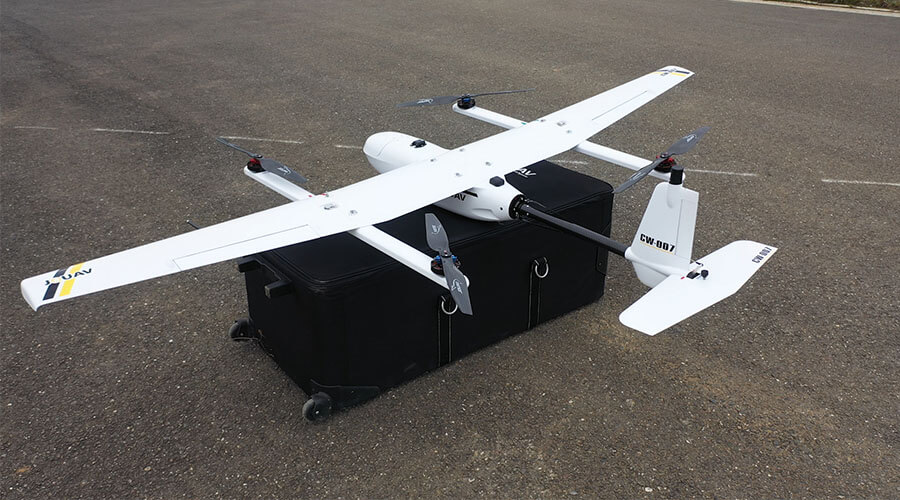
Backpack Design, integrated system, the combination of quick-insert payload and software guarantee the accuracy of data of any solutions.
Backpack Design, integrated system, the combination of quick-insert payload and software guarantee the accuracy of data of any solutions. The new intelligent power management module simplifies the user's workflow and is ideal for single controlled.
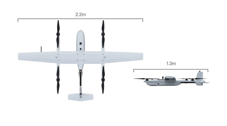
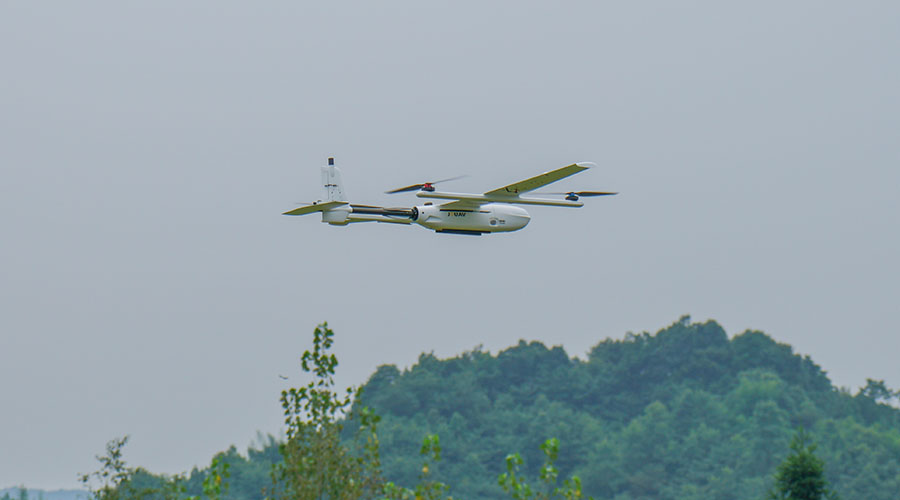
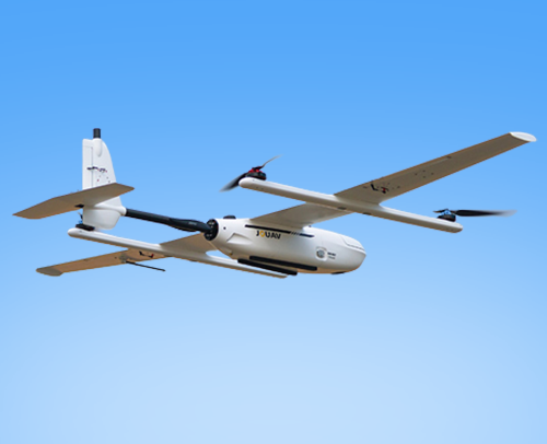
| Max Flight Time | 55min |
|---|---|
| Cruising speed | 61.2 km/h |
| Max Service Ceiling | 6000 m |
| Max Payload | 1 kg |
| Fuselage | 1.3m |
| Wingspan | 2.0m |
| MTOW | 6.8kg |
| Electro Motor | Low noise,brushless |
| Payload | 1 kg |
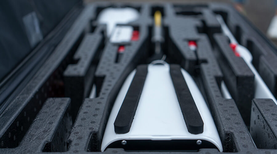
| Packing Size | 1200×500×400mm |
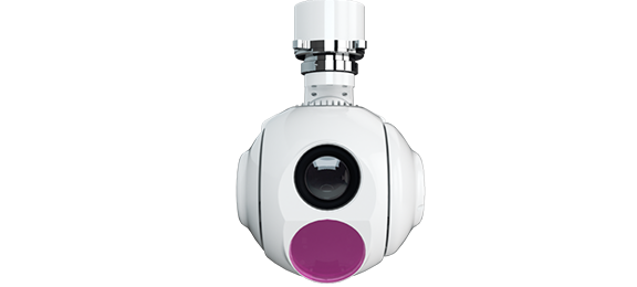
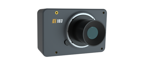
Lightweight 3-axis gimbal camera with 30X optical zoom and thermal sensors
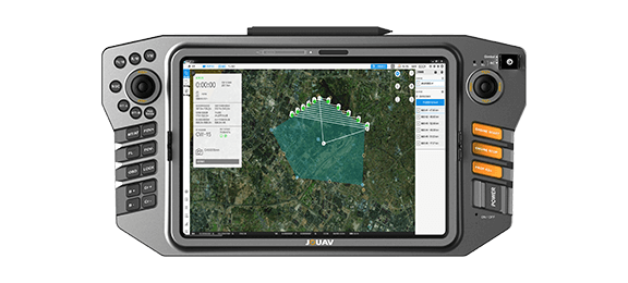
An all-in-one handheld UAV ground control station for controlling unmanned vehicles and payloads
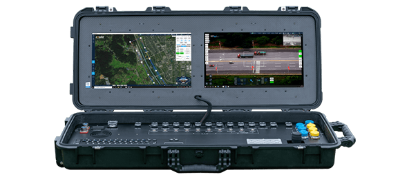
A portable dual-screen ground control station to control drone flight, recovery, and payloads
Lightweight 3-axis gimbal camera with 30X optical zoom and thermal sensors
An all-in-one handheld UAV ground control station for controlling unmanned vehicles and payloads
A portable dual-screen ground control station to control drone flight, recovery, and payloads
.jpg)
.jpg)
.jpg)
.jpg)
.jpg)
.jpg)
.jpg)
.jpg)